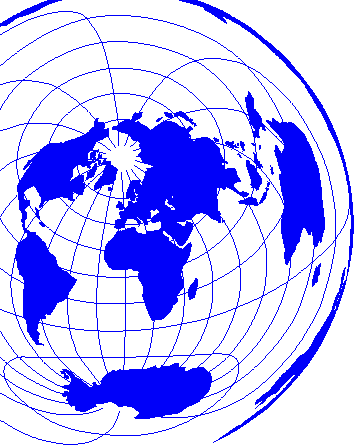
 |  Els microstats en el món actual / informació elaborada per Lluís Mallart i Casamajor; realitzat per l'Institut Cartogràfic de Cataluny . - Els microstats en el món actual / informació elaborada per Lluís Mallart i Casamajor; realitzat per l'Institut Cartogràfic de Cataluny . -
1: 105 000 000 . - Andorra : Conselleria d'Educació i Cultura, 1987 < 8.710/001 v > |
 |  Carte du fonds des océans / Le Pichon, Xavier . - Carte du fonds des océans / Le Pichon, Xavier . -
1: 48 000 000 . - París: Hachette, 1987ca . - 68 x 104 cm < 8.648/001 v > |
 |  Planisferio político : Mapa del Mundo : Presentación según áreas iguales : Proyección de Peters . - Planisferio político : Mapa del Mundo : Presentación según áreas iguales : Proyección de Peters . -
1: 35 845 000 . - Barcelona : Vicens Vives, Ed., 1986 < 8.635/001 C > |
 |  Peters Atlas of the World . - Peters Atlas of the World . -
1: 35 000 000 . - Oxford : Oxford Cartographers, 1989 < 8.635/002 v > |
 |  Pacific ocean : deep-sea vents, worlds without sun; Indian ocean : changing the face of Earth / Cartographic Division, National Geographic Society . - Pacific ocean : deep-sea vents, worlds without sun; Indian ocean : changing the face of Earth / Cartographic Division, National Geographic Society . -
1: 37 870 000 . - Washington, D.C.: National Geographic Society, 1992 < 8.625/002 v > |
 |  Mapamundi político . - Mapamundi político . -
1: 23 000 000 . - Barcelona : Mantnieks, 1974 . - 180 x 126 cm < 8.623/001 C > |
 |  World oil & gas map . - World oil & gas map . -
1: 23 000 000 . - Londres: Petroleum Economist, 2009 . - 91 x 117 cm < 8.623/002 v > |
 | Indian Ocean Floor / Conceived by Newman Bumstead, Chief, Geographic Art Division of the National Geographic Society for the National Geographic Magazine . -
1: 20 000 000 . - Washington : Geographical Magazine, [1967] < 8.620/001 v > |
 |  Physische Weltkarte / Haack-Painke . - Physische Weltkarte / Haack-Painke . -
1: 12 000 000 . - 4a ed . - Darmstadt : Perthes, 1987 . - 280 x 170 cm < 8.612/001 C > |
 | Lernkarte der Welt / prof Dr Wilhelm Pollex . -
1: 12 000 000 . - Darmstadt : Perthes, 1986 . - 252 x 170 cm < 8.612/002 C > |


