 |
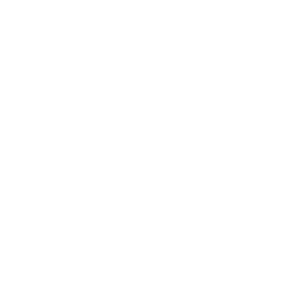
| El catŕleg geogrŕfic de la Cartoteca General UAB | Qatar |
 |
|
|
|
|
|||||||||||||||||||||||||||||||||||||||


 Tactical Pilotage Chart . -


| UAB | Biblioteques | Guia GEODOC | Comentaris |
|
| El catŕleg geogrŕfic de la Cartoteca General UAB | Qatar |
|
|
|
|
|
|||||||||||||||||||||||||||||||||||||||
| UAB | Biblioteques | Guia GEODOC | Comentaris |