|  Carte des Continents . - Carte des Continents . -
1: 5 000 000 . - Paris : Institut Geographique National < 1.550/006 v > |
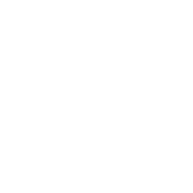
 | Japan and her surroundings . -
1: 3 000 000 . - Toquio : Japan Map Center, [1981] < 1.530/004 v > |
| Korea and vicinity / National Geography Institute (NGI), Ministry of Construction & Transportation, Republic of Korea . -
1: 3 000 000 . - Seoul : Korean Information Service, 2000 < 1.530/006 v > |
| Japan . -
1: 2 500 000 . - Edinburgh : Bartholomew, 1980 . - (Bartholomew World Travel Series) < 1.525/001 v > |
| World Map = Karta Mira . -
1: 2 500 000 . - s.l. : [editors diversos] < 1.525/006 v > |
| Japan . -
1: 2 500 000 . - Edinburgh : Bartholomew, 1987 . - (Bartholomew World Travel Series) < 1.525/009 v > |
| Jet Navigation Chart . -
1: 2 000 000 . - Saint Louis : Defense Mapping Agency Aerospace Center < 1.520/007 v > |
| Operational Navegation Chart ONC . -
1: 1 000 000 . - Saint Louis : Defense Mapping Agency Aerospace Center . - 146 x 107 cm < 1.510/012 v > |
| Japan District maps . -
1: 500 000 . - Toquio : Japan Map Center < 1.450/021 v > |
| Tactical Pilotage Chart . -
1: 500 000 . - Saint Louis : Defense Mapping Agency Aerospace Center . - 146 x 106 cm < 1.450/024 v > |